Map & Compass
 As we all know, it’s vitally important to know where we’re going (and where we’ve been). Recording information on our local area or, mapping, is a skill which goes back some 3,000 years.
These early maps were carved onto clay or stone tablets and exposed bedrock and, in their simplest form, were used to show valleys, rivers, obstacles etc.
They gave way to painted maps on walls of caves and cliff faces and by the middle ages, maps, plans and charts were being recorded on vellum and being used by intrepid explorers looking for adventure or to discover new resources in far off lands.
By the mid 1700’s there were formal moves to start systematically mapping the Country. This would see the beginnings of an agency called Ordnance Survey. The agency’s name indicates its original military purpose, part of which was to map Scotland in the wake of the Jacobite Rising of 1745. It should be noted that there was also a more general and nationwide need in light of the potential threat of invasion during the Napoleonic Wars.
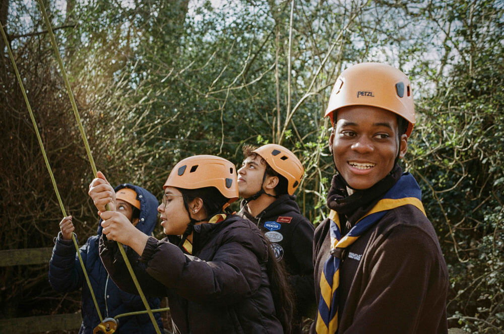
Ordnance Survey (OS) maps have formed the backbone of not only many Scout activities over the years, and many of you will have spent countless hours/days/nights/weekends using a compass and a printed map.
These, of course, could be in the pursuit of competition – either in house, at any of our camps or even as part of inter‑troop competitions.
It should also be recognised that OS maps and learning how to use them has led to countless hours of leisure time by our former and current members who enjoy walking and climbing as an active pursuit.
At our displays we showed a range of the following:
- some fabulous old hand drawn maps of camp locations (some are of camps at Blythswood Estate (we’ll scan the maps and upload to our website, so as just a small amount of the estate remains, it’s great to see what it was like)
- some printed street maps used to navigate any towns you might be in
- some street maps as used by the delivery teams during our Scout Post activities last year (see Helping Others article)
 It’s worth highlighting that our increasingly interconnected world has seen massive changes in mapping, and of course the development of compasses/identifying your location on the planet. Perhaps the most fascinating of these is the advent of Global Positioning Satellites (GPS) and that any number of devices from a mobile phone to a car can now show you where you are on the planet to within a matter of metres.
As a dynamic and forward thinking Scout Group, with a view to giving our young people a broad range of experiences we have taken advantage of this new technology and used an “app” called “What 3 words” to develop a wide game activity for the Scouts one evening during the Covid Year.
The application of this package is to cover the world in a series of 3 metre squares and then apply a unique 3 word geolocation code to each square.
Here’s an example of an image on “what 3 words” which shows the location of the fire escape at the rear of this hall along with the 3 word geolocation code: coats.slower.amuse

 If you’ve missed out on map reading skills (you should have joined Trinity Scouts!), you fancy exploring the what3words app and would like to use it for yourself, please scan the QR Code across to find out more details.
Map making, and the ability to read, understand and use maps has been directly linked to the advance of civilisation, improvements in agriculture and global health, and of course to changing balances of influence, wealth and power throughout the age and is something we can readily recognise today.
We hope that by encouraging our young people to understand and appreciate the importance of map reading, we are not only playing a part in their development but also giving them the skills to enjoy nature safely. Who knows, we might even be helping drive forward the technology of tomorrow.
Before we finish – an important note about our Centenary and mapping:
- We must not, of course, forget the origins of map and compass, so with that in mind, as part of our Centenary celebrations former members sponsored a compass which we had etched with the Centenary logo. Each Former member who sponsored wrote a note of their favourite Scouting memories, so that their memory card and a compass could be gifted to every Group member, from Beavers through to Explorers. That’s a lot of memories and compasses.
- We thought it important that our young people have this link with the past, with both the members and the compass, which many people think is outdated. We disagree, as mobile phones can run out of charge or have no reception; a compass is a vital piece of kit and we’re delighted that all our young people have their own specially marked Centenary compass which we’ll ensure they put to good use.
- Sincere thanks to all our sponsors for their generosity and ensuring their memories live on with the Group.
Finally, did you know that:
- Some mapmakers have long worried about their work being copied by competitors, so they included misnamed streets and walkways (like London’s Bartlett Place). Moat Lane, is another fictitious street in North London that originated in the TeleAtlas directory which was even marked on Google Maps for a while.